Antiques for Sale | Antique Furniture | Antique Fairs | Antiques Listings | Antiques Email Alerts | Websites for Antique Dealers | Contact

Elder Books and Collectables
Tel : 01989762478, Mobile: 07980639356
Email : order@elderbooks.co.uk
Web : www.abebooks.com/elder-books-ross-on-wye%2c-herefordshire/3293690/sf
Web : www.antiques-atlas.com/elderbooks/
Private dealer
By appointment only
Near Walford, Ross on Wye
Herefordshire
Open: By appointment only, please ring or email with all enquiries in the first instance.
1889 Descriptive Map of London Poverty by C. Booth

Photos
Description
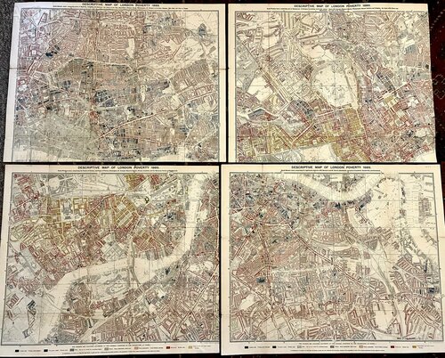
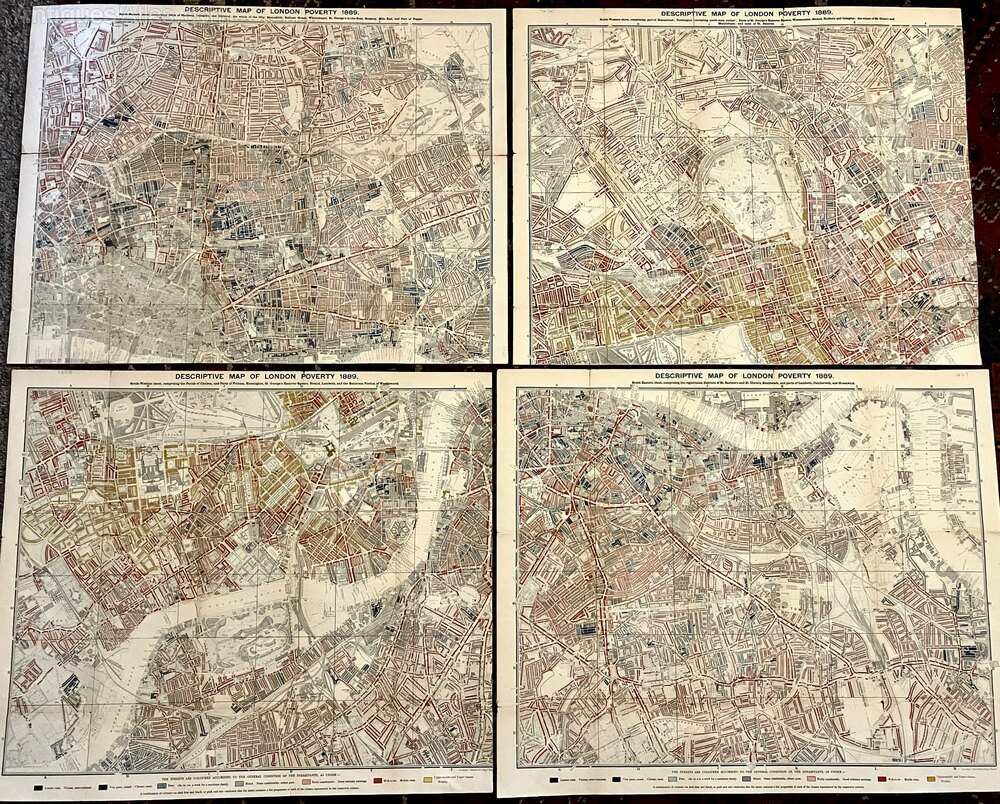
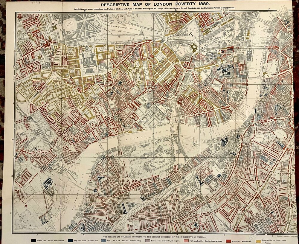
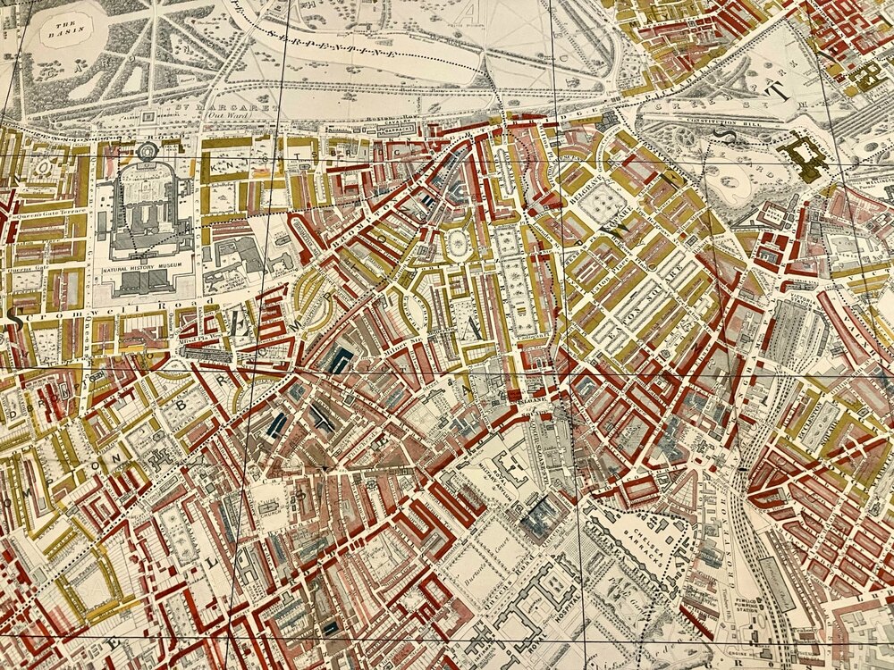
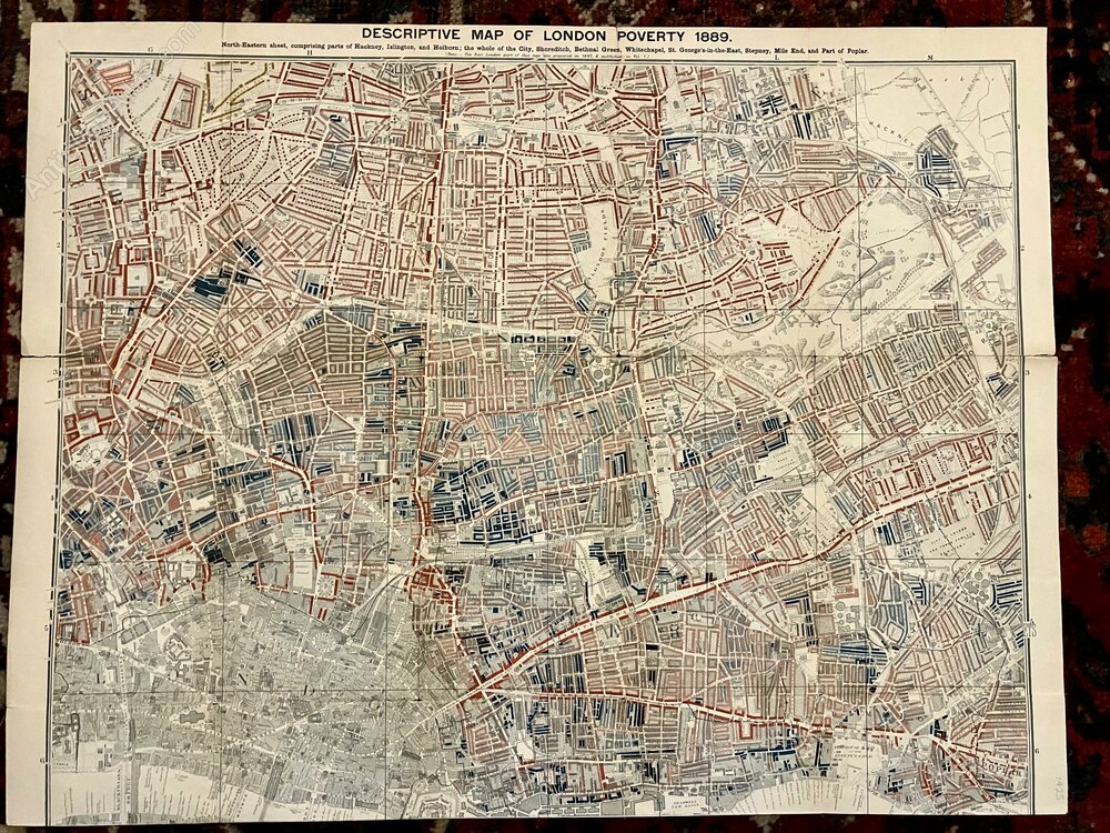
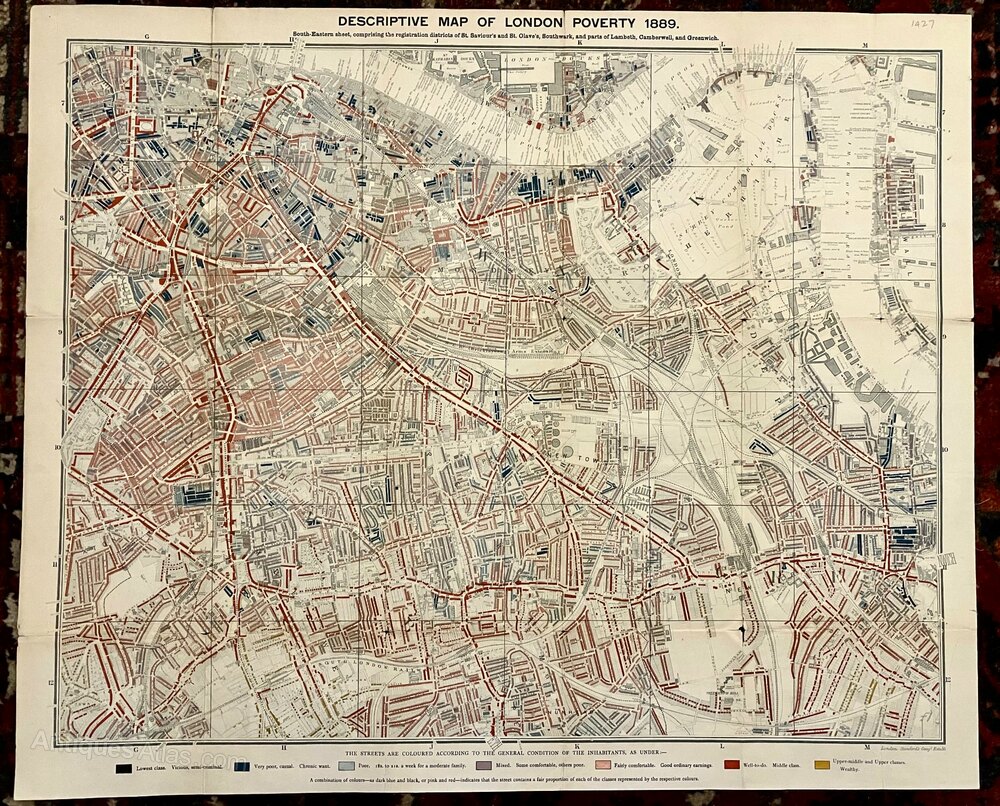
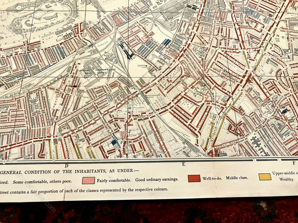
Descriptive Map of London Poverty 1889By Charles Booth
Published by Stanford's Geographical Establishment, 1889
An Original Large Late 19th Century Lithographed Map With All Four Individual Parts in Sections & Laid Down on Linen as Issued.
Complete With the Colour Key to the Housing of Social Classes.
Each Map Measures Approx 24 X 19 Inches
The Occasional Very Small Hole or Very Small Tear at Some Folds With a Few Small Closed Tears at Some Margins.
Overall These Are in Superb Condition With Colours Bright & Maps Clean.
Shipping information
Free of charge within the UK via Tracked & Insured Service.
Overseas Buyers - Please contact us for postage costs.
All Books sent in Sturdy Book Box.
Overseas Buyers - Please contact us for postage costs.
All Books sent in Sturdy Book Box.
DateLate Victorian :
1889
Codeas1207a660 / 631-DR6
Price £9500.00  €10960.15
  $13075.80
  The price has been listed in British Pounds.
Conversion rates as of 29/JAN/2026.
Euro & Dollar prices will vary and should only be used as a guide.
Always confirm final price with dealer.StatusFor Sale SellerElder Books and Collectables Telephone01989762478 or 07980639356Non UK callers :+44 1989762478 or +44 7980639356Emailorder@elderbooks.co.uk
 €10960.15
  $13075.80
  The price has been listed in British Pounds.
Conversion rates as of 29/JAN/2026.
Euro & Dollar prices will vary and should only be used as a guide.
Always confirm final price with dealer.StatusFor Sale SellerElder Books and Collectables Telephone01989762478 or 07980639356Non UK callers :+44 1989762478 or +44 7980639356Emailorder@elderbooks.co.uk
Contact
Send Elder Books and Collectables a message about this item here